

|
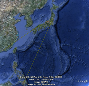
The Web-GIS Atlas of Birds displays records of bird migrations on a Google Earth map based on results from bird banding surveys (data of recovery records). This atlas helps users to easily understand the facts of bird migration visually and can be used as material to learn about the ecology of birds. For details including analysis of recoveries, please refer to the Atlas of Birds (booklet) in the PDF file below. Web-GIS Atlas of Birds |
|
Atlas of Birds (booklet)
 |
High ResolutionLow ResolutionIf you wish to use the bird banding data, please see the following page: Use of Bird Banding Data |
【How to use this page and PDF format】
You will need Acrobat Reader to see this PDF file. To download a free copy of the Acrobat Reader software, please visit this site.