 |
|
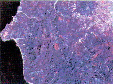
Shirakami-sanchi vicinity (9/19/80 -- 8/29/86) The Saseto kurilensae-Fagion crenatae logged-over area in Aomori Prefecture has expanded. The Akita Prefecture image shows a scattering of logged-over areas. Iwaki Mountain can be seen at the upper right. |
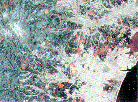 |
| Sendai City vicinity (5/21/79 -- 5/21/87) Areas of Quercus serrata communitiy can be seen in the city's vicinity. The deep red hilly area in the right center was burned over by a forest fire. At the upper left, a snow-capped mountain -- Mt. Funagata -- can be seen. That area is surrounded by logged-over area of Saseto kurilensae-Fagion crenatae. |
