*Example of data display |
| Data name |
National Park Areas |
| Scale of original drawings |
1/50,000, etc. |
| Overview |
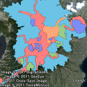
National Parks represent outstanding natural landscapes of Japan. The park lands are designated and managed by the Country (MOE) in accordance with the Natural Parks Law.
As of April 2025, 35 areas have been designated as the National Parks. For detail, please click here.
In addition to the names of the National Parks, the data includes classification attributes such as Special Protection Zones, Class I Special Zones, etc. Please click here for the description of each zone. |
|
View Areas and Borders of National Parks
|
|
Download Data on National Parks (Shape format)
|
|
*This data has been created for indicating the overview of designed areas. As various activities are regulated in the National Park Areas, please contact your local MOE office when an area in which an act subject to regulation such as installing a structure needs to be confirmed. |